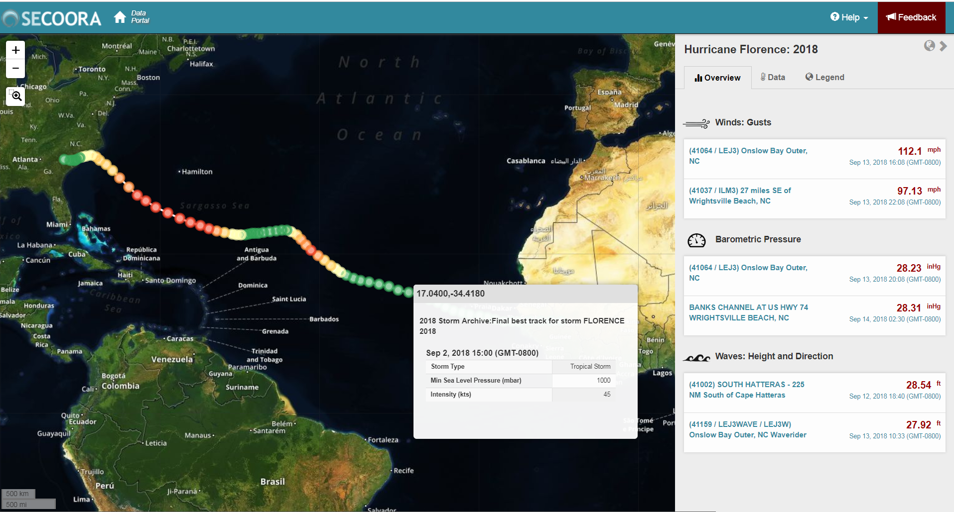
The Southeast Coastal Ocean Observing Regional Association (SECOORA), U.S. IOOS, and partners support marine weather buoys and coastal stations off of the Southeast coast. The information collected by these assets provides real-time information on approaching storms and hurricanes. Axiom Data Science, in partnership with SECOORA, have released a new Hurricane Data Tool to visualize hurricane tracks together with weather data from nearby observation stations and weather models. This tool allows users to quickly gain access to real-time or historical weather data from anywhere along the hurricane’s path.
Click to view the new Hurricane Data Tool or watch this short instructional tutorial. We are interested in hearing your ideas for expanding or improving this tool by using the Feedback tab or emailing: communications@secoora.org.